Marina store ice
Briarcliff Marina ship store
406 Sleat Drive, Briarcliff, TX 78669
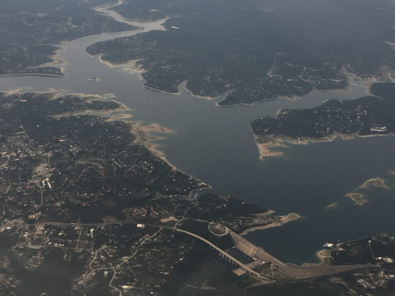
West of Austin, Lake Travis winds around limestone points and inlets. Pace Bend gives visitors several views of the reservoir from one peninsula, with roads leading to different parts of the shore.
Start with the county park map, choose a cove for a picnic and use a designated access area to reach the water. If launching a boat, identify a usable ramp before bringing the trailer.
Look up current ramp status and reservoir level on the day of the trip. A ramp shown on a general lake map may not reach the water.
406 Sleat Drive, Briarcliff, TX 78669
Explore nearby homes and cabins, then choose your dates and number of guests.